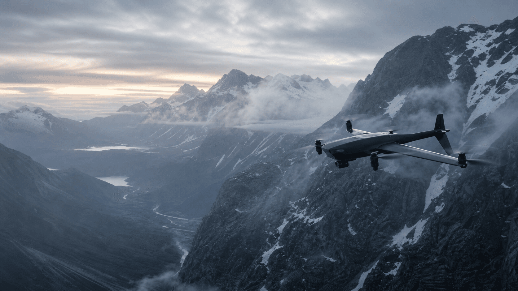
Low-light search
Aerial review across access roads, remote terrain, corridors, and search sectors after daylight has gone.
FIELDGLASS / FUSION
CAPABILITY FIELD
SEARCH AND OBSERVATION
FIELDGLASS turns operator-reviewed, multi-sensor aerial sweeps into incident-ready search intelligence for authorised rescue teams and incident controllers.
Aerial review across access roads, remote terrain, corridors, and search sectors after daylight has gone.
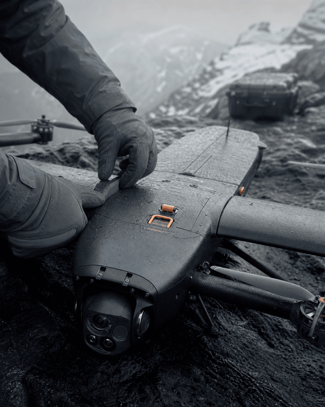
Thermal-assisted coverage helps trained operators identify signals that need a closer look in low-visibility environments.
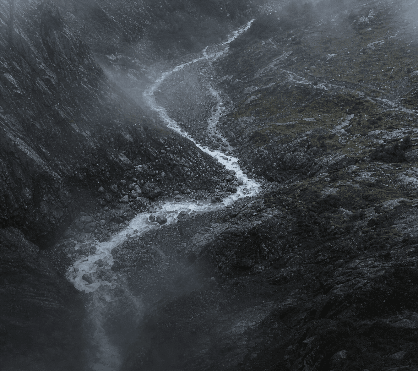
Fast visual context for slopes, water crossings, vegetation, unstable ground, and possible team approach routes.
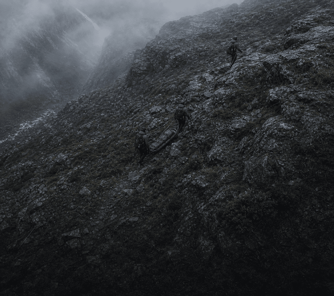
A persistent view of the wider scene while ground teams work below changing weather and access conditions.
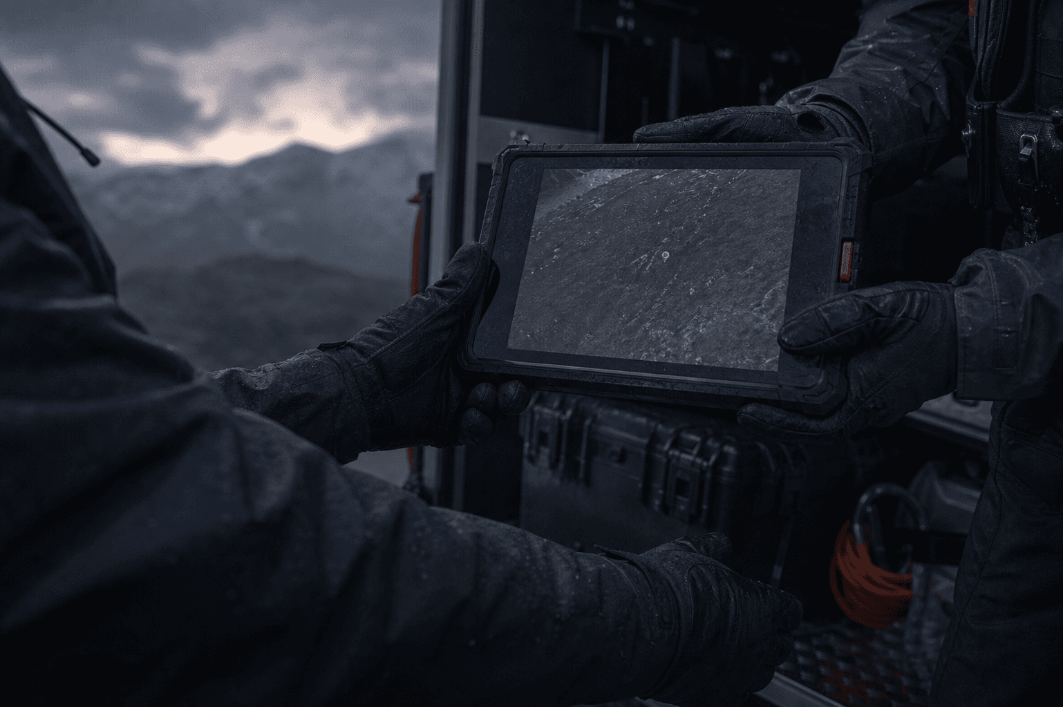
Sensor frames, coordinates, location notes, and search summaries shaped for incident-team decisions.
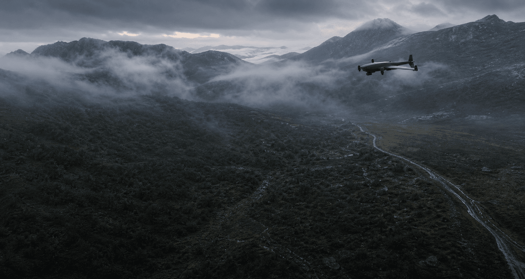
Return sweeps over priority sectors when conditions, visibility, or the working search hypothesis changes.
OPERATIONAL BOUNDARY
FIELDGLASS is a concept system for authorised agencies and trained teams. It is not an emergency reporting or guaranteed detection service; any deployment would remain under agency coordination and aviation approvals.